By Tom Elia and Sandra Nortunen, Palm Beach Post
Videos by Rare
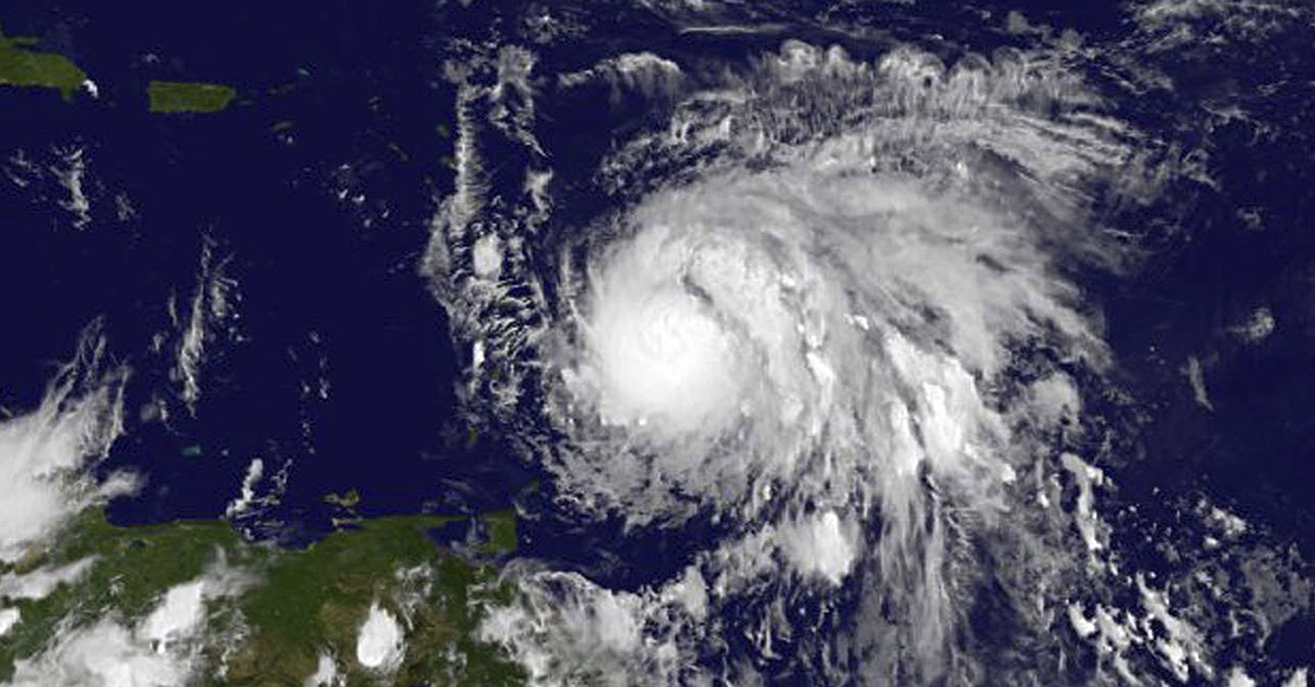
Maria muscled up Sunday from a tropical storm into a hurricane with sustained winds of 75 mph.
RELATED: Don’t fall for these hurricane relief scams
Maria is moving toward the west-northwest near 15 mph. On the forecast track, the center of Maria will move across the Leeward Islands Monday night and then over the extreme northeastern Caribbean Sea on Tuesday.
Here are the 5 pm EDT key messages regarding #Maria and #Jose. https://t.co/tW4KeGdBFb pic.twitter.com/SpqYPb8E6U
— National Hurricane Center (@NHC_Atlantic) September 17, 2017
Additional strengthening is forecast during the next 48 hours, and Maria could be near major hurricane intensity when it moves across the Leeward Islands Monday night.
Tropical storm conditions expected to reach portions of the Leeward Islands Monday. Rainfall and storm surge hazard information below #Maria pic.twitter.com/m7py3LYnXD
— National Hurricane Center (@NHC_Atlantic) September 17, 2017
Hurricane-force winds extend outward up to 15 miles from the center, and tropical storm-force winds extend outward up to 105 miles.