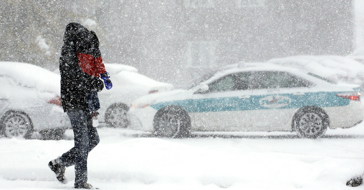
Despite the winds gradually falling down and moving to the east, a strong level pressure system is developing in the Canadian Rockies that will move southeast, impacting the Chicago area.
Videos by Rare
According to a WGN report, there will be a Winter Storm Watch.
RELATED: Winter weather hit their home, and they definitely knew how to celebrate the day
Those in the path of the Winter Storm Watch, which calls for 5 to 9-inches of snow on Thursday evening through Friday afternoon/evening, are those in the blue-shaded counties on the highlighted map below, according to the news outlet.
The anticipated heaviest snow band being along as well as north of Interstate-80 while lesser amounts of snow are expected farther south, according to WGN.
A WINTER STORM WATCH is in effect from Thu 11PM-Fri 11PM for the blue shaded counties in IL & IN. There is the potential for heavy #snow with total accumulations of 5-9" possible. Plan on difficult travel conditions, including during the Fri AM commute. #Chicago #ilwx #inwx pic.twitter.com/IpwnihaT5m
— Mike Janssen (@MikeJanssenWX) February 7, 2018
Later Thursday afternoon, snow is expected to spread from the west with an extended period of snowfall to continue Thursday night as well as Friday morning, gradually ending from the west Friday afternoon/evening according to the news outlet.
The last part of the area to clear Friday evening according to WGN looks to be Chicago south and east into northwest Indiana.
For further coverage of this weekend’s stormy weather, scroll on below – courtesy of Praedictix.
https://www.youtube.com/watch?v=SFw4G5eghC4