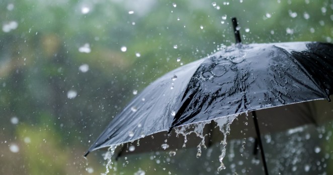
As the seasons shift, so too does the weather. Now, meteorologists are warning that an incoming cold front could spur tornadoes and flooding along the East Coast.
Videos by Rare
The Details: The NY Post shared details surrounding the FOX Forecast Center’s report. According to the report, this advancing cold front “is expected to spark widespread showers and thunderstorms.”
- The storms are expected to affect areas from New England to the Gulf Coast on Thursday and persist into Friday.
- Forecasters warn that a handful of these storms could reach strong to severe levels.
- Experts warn that the greatest hazards “will come in the form of damaging winds and torrential rainfall.”
Cold Front Could Cause Tornadoes And Flooding
When speaking with the outlet, FOX Weather meteorologist Ian Oliver warned about some potential hazards. “This boundary finds its way farther to the east, closer to the East Coast of the United States … with the flood potential, but also the outside chance for some strong and severe storms,” he said.
- Weather forecasts suggest that total rainfall could reach up to 3 inches across specific portions of the East Coast, potentially exceeding those numbers when the storm travels back over the same areas.
- Although the atmosphere does not appear to have the “necessary ingredients to produce a severe weather outbreak,” isolated tornadoes cannot be ruled out.
- Incoming storms could bring wind gusts of 58 mph or greater.
More Concerns: In addition to high winds and tornado risks, flooding is also a concern. Meteorologists warn that local flooding is a concern in areas where storms develop rapidly and pass over the same communities multiple times. Additionally, areas with poor drainage are particularly vulnerable to flooding risks.
While many communities are welcoming the rain after weeks of having none, meteorologists warn people to stay alert. The highest risk from this cold front coming in is still the high winds, which will be “strong enough to topple trees, snap branches, and knock out power.”