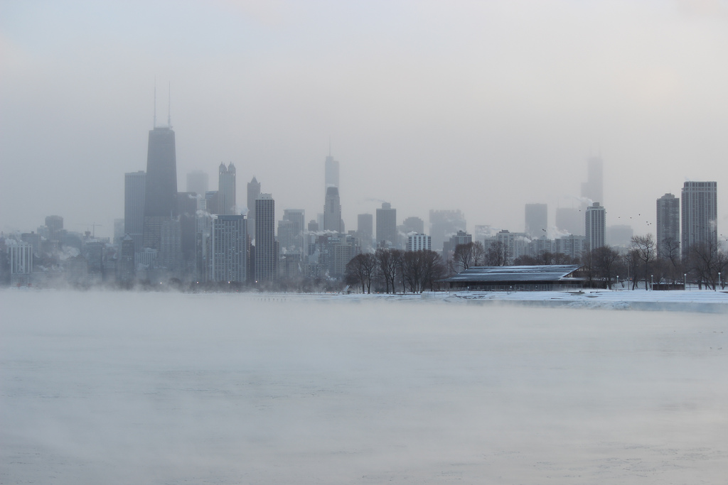
This winter season has been absent of one thing- snow. There has been little to no snow covering the ground and only flurries forecast for this weekend, it looks like Chicago might not have a white Christmas this year, or will it?
Videos by Rare
RELATED: Chicago takes Chi-beria seriously and gears up for another Chi-winter
A weather phenomenon (AKA Polar Vortex) might finally bring us the White Christmas we are used to. The southern flank of a polar vortex settling south will likely cause temperatures in the Chicago area to drop over the holiday weekend, but will it also bring beautiful white snow with it?
A Polar Vortex is the coldest Arctic air mass, and this one is the coldest of the season so far. Weather experts expect to swirl down from the Far North, crossing the U.S. border with Canada as early as Wednesday, and potentially creeping its way all the way down to Texas, east to New York City, and potentially passing over Chicago.
It seems possible, but don’t get too excited, we should all note that so far only one model (the Weather Service’s GFS) hints that sticking snow could be headed into the Chicago area this weekend. As for what we want to see for sticking snow, it’s definitely more than one model on board, and that hasn’t happened yet.
Christmas Eve may feature temperatures 20 to 40 degrees below normal around Denver and Bismarck. By Christmas Eve, such cold could envelop Minneapolis and Chicago. Subzero nighttime lows are a good bet.
Temperatures this month in Chicago are running at least 11 degrees warmer than over the same period last December, when we even saw temperatures drop to 13-below at O’Hare on the coldest day of the month. By comparison, our coldest reading to date has only been 16 degrees on December 14.
This winter season there’s only been only 2.1″ of snow, compared to 17.7″ by this date a year ago. Suppose the GFS model is correct, the northwest suburbs and areas to the north and west of Chicago appear to be favored by this model for accumulating snow Friday night into Saturday.
RELATED: 9,000 winter coats to be given to Chicago children who are in need
Despite the fact that it has been a warm Christmas it will all change, because one thing all the models agree on: it’s going to be a cold Christmas. Chicago is en route for the winter’s coldest air to date, and as it sweeps in temperatures on Christmas Day will struggle to hit to 20 degrees as a high, and morning wind chills will likely be at or just below zero.
https://twitter.com/RyanMaue/status/942401752334307328